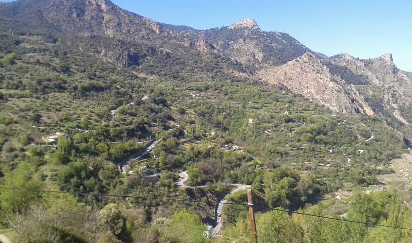
The climb to Alto de Haza Llanas follows the GR-3200 road south out of Guejar Sierra, climbing towards Pico de Veleta.
It begins just after crossing the bridge over the River Genil and is marked by a sign which shows you the gradients coming up.
Haza Llanas often forms part of the longer ascent to Pico de Veleta. However, it is a significant climb in its own right and has been used several times in the Vuelta a España and Vuelta a Andalucia cycling races.
The climb is situated in the Sierra Nevada National Park and there are pleasant views throughout much of the climb; however, it never really fully opens up, and you have to continue climbing to the top (towards Pico del Veleta) to get the more spectacular views.
Haza Llanas is generally open throughout the year.
From the top there is still nearly 2,000m more climbing to reach Pico de Veleta!
Roads & Traffic
The road surface is in very good condition and there is little traffic throughout the climb.
The road to Haza Llanas climbs steeply out of Guejar Sierra
Alternative Routes
Alto de Haza Llanas can also be reached if you climb to Pico Veleta from Guejar Sierra,
Monachil
and Pinos Genil. On some of these routes it is very slight diversion from the main A-395 road.


 Spain
Spain